
Tracing from a photo or sketch
Already have your bush mapped on paper, or in a program that will not export? Put a picture of it under the map and draw your real lines on top. This is on the computer, at sapspyapp.com/MapMyWoods.

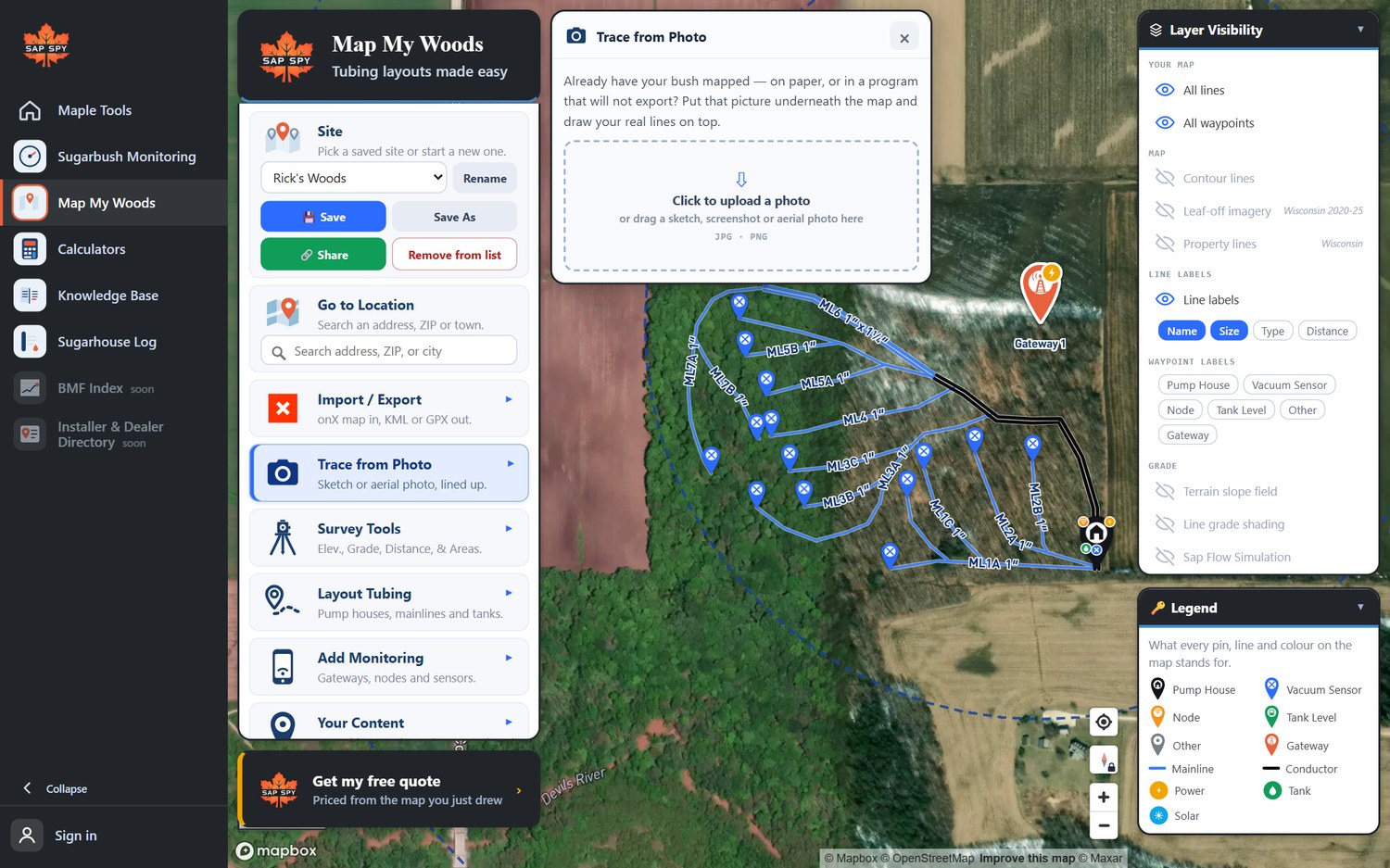
- Click Trace from Photo.
- Click the box, or drag a JPG or PNG onto it: a photo of a paper sketch, a screenshot from another program, or an aerial photo.
- The picture is laid over the map. Line it up with the ground: - Auto-align tries to match the picture to the aerial photo for you. It works best with aerial photos and screenshots that show the ground. Undo align puts it back. - Move, Rotate and Size line it up by hand. Pick two things you can see in both, such as a road corner and a building, and work until they sit on top of each other. - Fade makes the picture see-through so you can see the map under it.
- Draw your lines over the picture with Layout Tubing.
- Hide the picture with the eye when you are done, or Remove photo.
Photo overlay in Layer Visibility turns the picture on and off.
FAQs
Zoom the map to your land first, so the picture and the map show the same ground, and try again. A hand sketch with no ground detail usually has to be lined up by hand.
Not yet. Trace on the computer; the lines you draw are on your phone the next time you open the map.
Only as accurate as the sketch. Once the lines are drawn, check each one's grade, and walk the important ones with the Tracker.
Have a question this doesn't answer? Email info@sapspy.com or call 920-809-4811 — we're producers too.
This website uses cookies that help the website to function. We use these cookies to provide you with improved and customized user-experience. By tapping 'accept,' you consent to the use of cookies. For more info, see our privacy policy.