
Map My Woods: what it is and where to find it
Map My Woods is the mapping tool in Sap Spy. You draw your mainlines, pump houses and sensors over an aerial photo of your own woods, and the map tells you what the ground is doing under every line: length, drop, grade, and where it runs flat or uphill.
It works without an account. Signing in keeps your maps on every phone and computer you use.
Phone and computer#
The same map opens in both. Draw it at the kitchen table, then walk it with the phone.
- On your phone: the Sap Spy app, for iPhone and Android. Best in the woods: it knows where you are standing, it can draw a line as you walk it, and it can save the map for places with no signal.
- On a computer: sapspyapp.com/MapMyWoods. Best for laying out a whole bush: a bigger map, a mouse, and extras such as tracing from a photo and exporting to onX.
Finding it on your phone#
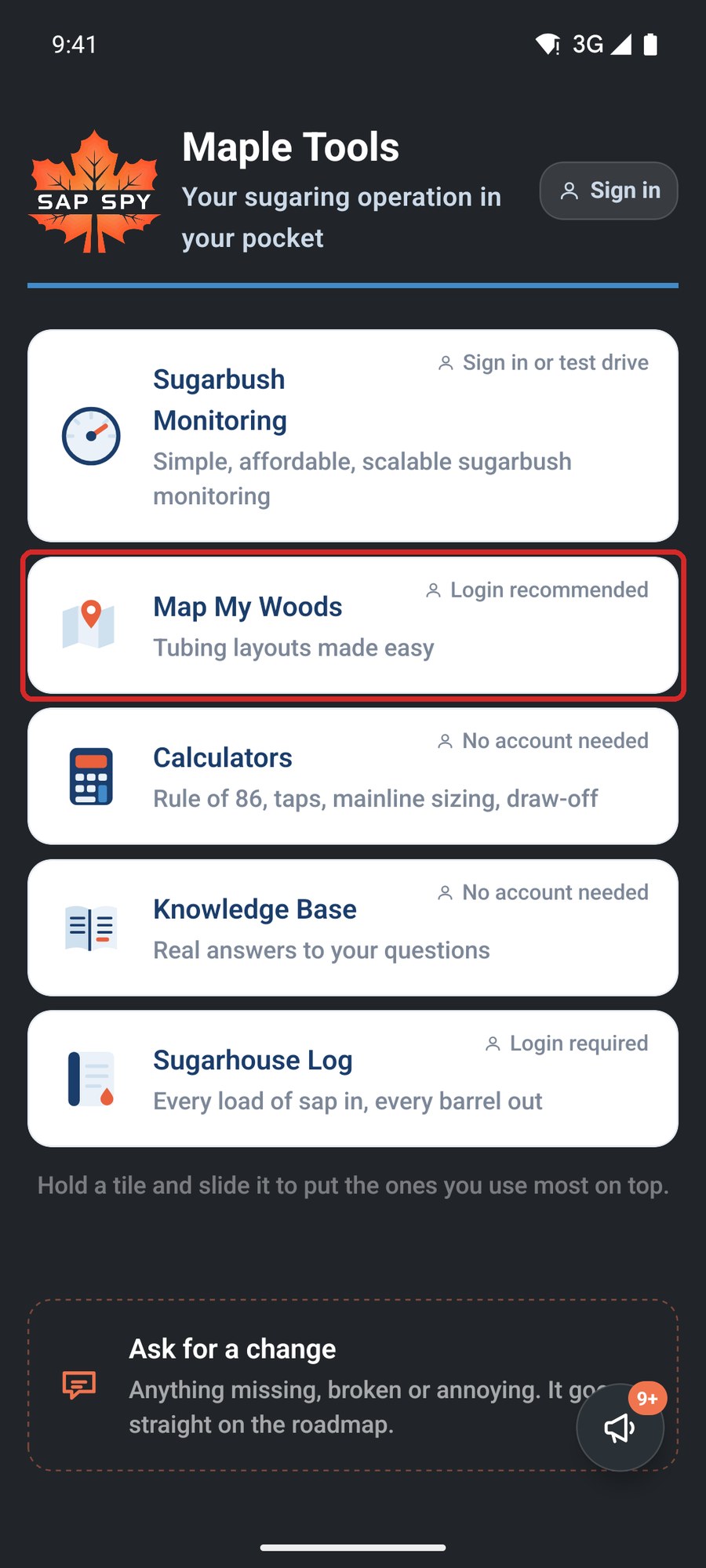
Open the Sap Spy app and tap Map My Woods on the home screen.
The map fills the screen. Everything you do starts from one of six places.
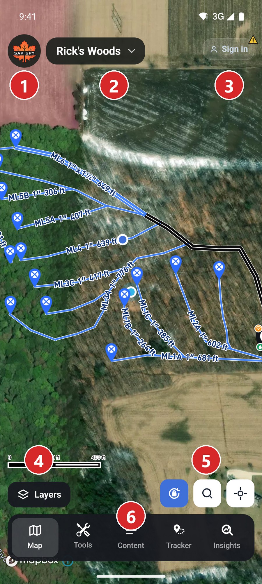
- The leaf: back to the Sap Spy home screen.
- The map's name: tap it for My Maps, where you start, open, rename, share and delete maps. A check mark after the name means the map is saved.
- Your account: sign in, or see who is signed in.
- Layers: contours, slope, leaf-off imagery, property lines, cell coverage, and what is shown on the map.
- North lock, Search and Locate: keep north at the top, find a town or address, or jump to where you are standing.
- The bar: Tools to draw and measure, Content for a list of everything on the map, Tracker to walk a line, Insights for tubing totals.
Finding it on a computer#
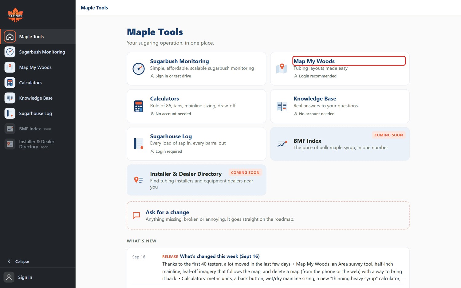
Go to sapspyapp.com, then Map My Woods.
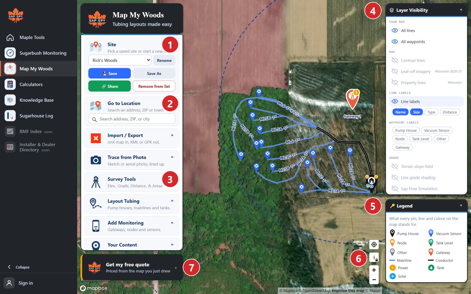
- Site: pick a saved map or start a new one. Rename, Save, Save As and Share are here.
- Go to Location: search an address, ZIP or town.
- The tools: Import / Export, Trace from Photo, Survey Tools, Layout Tubing, Add Monitoring, Your Content and Bill of Material. Click one and it opens beside the menu.
- Layer Visibility: what is shown on the map.
- Legend: what each pin and line colour means.
- Map buttons: locate me, north lock, zoom.
- Get my free quote: a price for the monitoring hardware on your map.
The articles in this section#
- Starting your first map
- Drawing mainlines and other lines
- Pump houses, pins and monitoring hardware
- Walking a line with GPS
- Checking a line's grade
- Layers: contours, slope, leaf-off imagery, property lines and cell coverage
- Survey tools: Inspect, Measure and Area
- Your content, the bill of material and a quote
- Sharing a map, and bringing one in from onX
- Signing in, saving and working without a signal
- Tracing from a photo or sketch
- FAQs
FAQs
No. It is a mapping tool for any sugarbush. If you do have Sap Spy sensors, the same map is what Sugarbush Monitoring draws your live readings on.
The aerial map covers the United States and Canada. The ground elevation behind grade, contours and slope is 1 meter LiDAR across most of the US maple region and coarser in Canada. Leaf-off imagery and property lines are available in some states; the Layers panel says what your woods has.
Yes. Open My Maps and tap See an example map: a working sugarbush you can look around, view only.
Have a question this doesn't answer? Email info@sapspy.com or call 920-809-4811 — we're producers too.
This website uses cookies that help the website to function. We use these cookies to provide you with improved and customized user-experience. By tapping 'accept,' you consent to the use of cookies. For more info, see our privacy policy.