
Layers: contours, slope, leaf-off imagery, property lines and cell coverage
Layers is what the map shows. Turn on the ground under your woods, a leaf-off photo, your property lines, or which cell carriers reach your pump house.
On your phone#
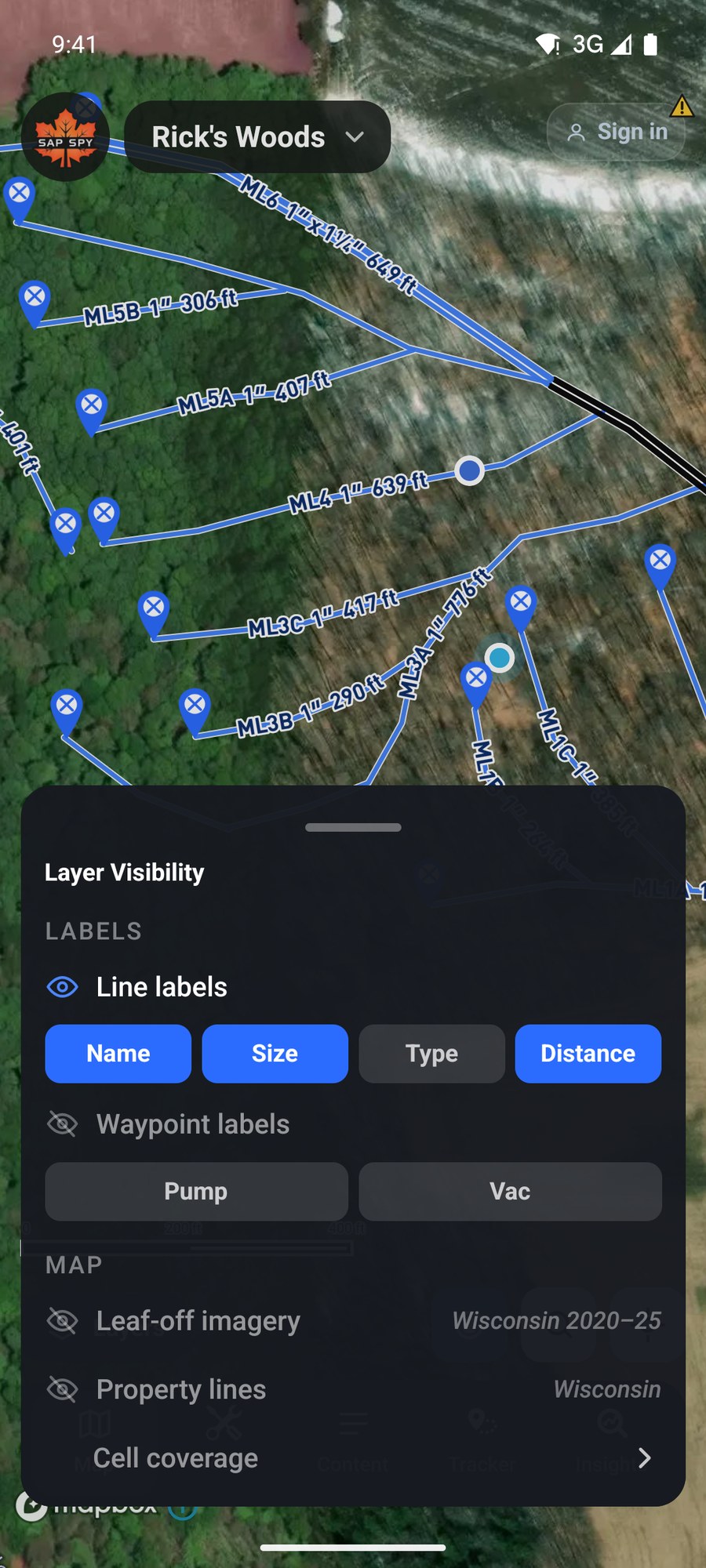
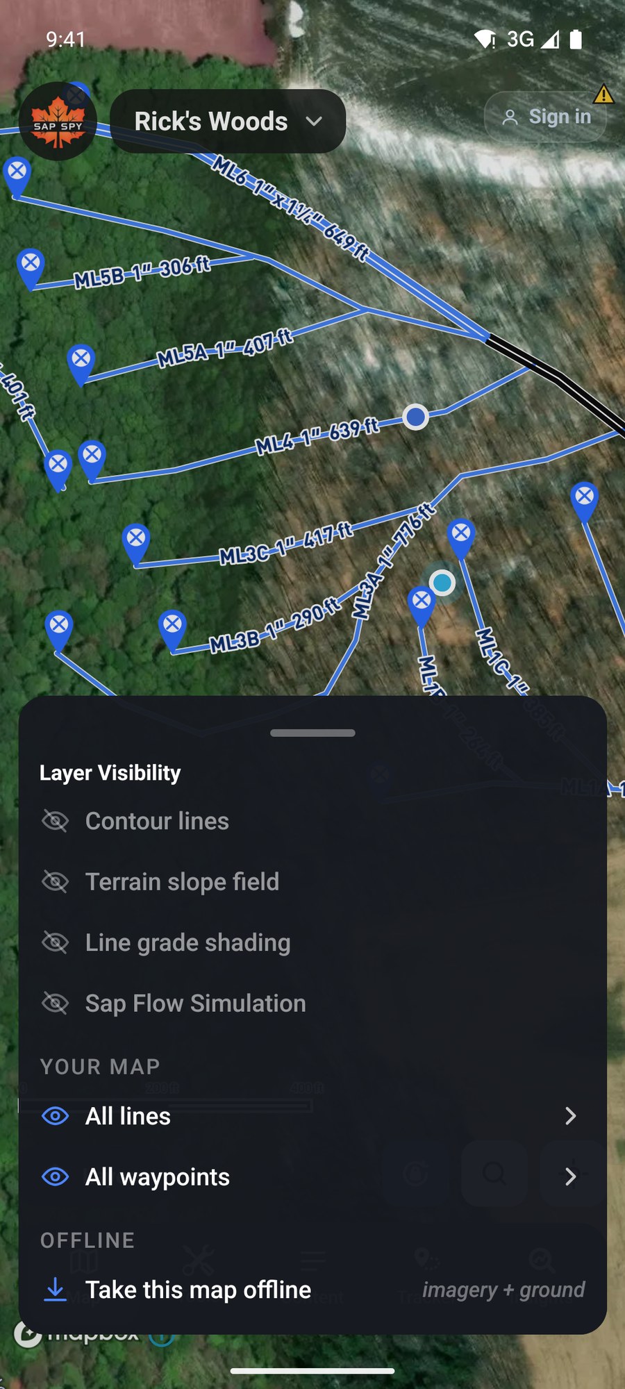
Tap Layers. Tap a row to turn it on or off.
The ground#
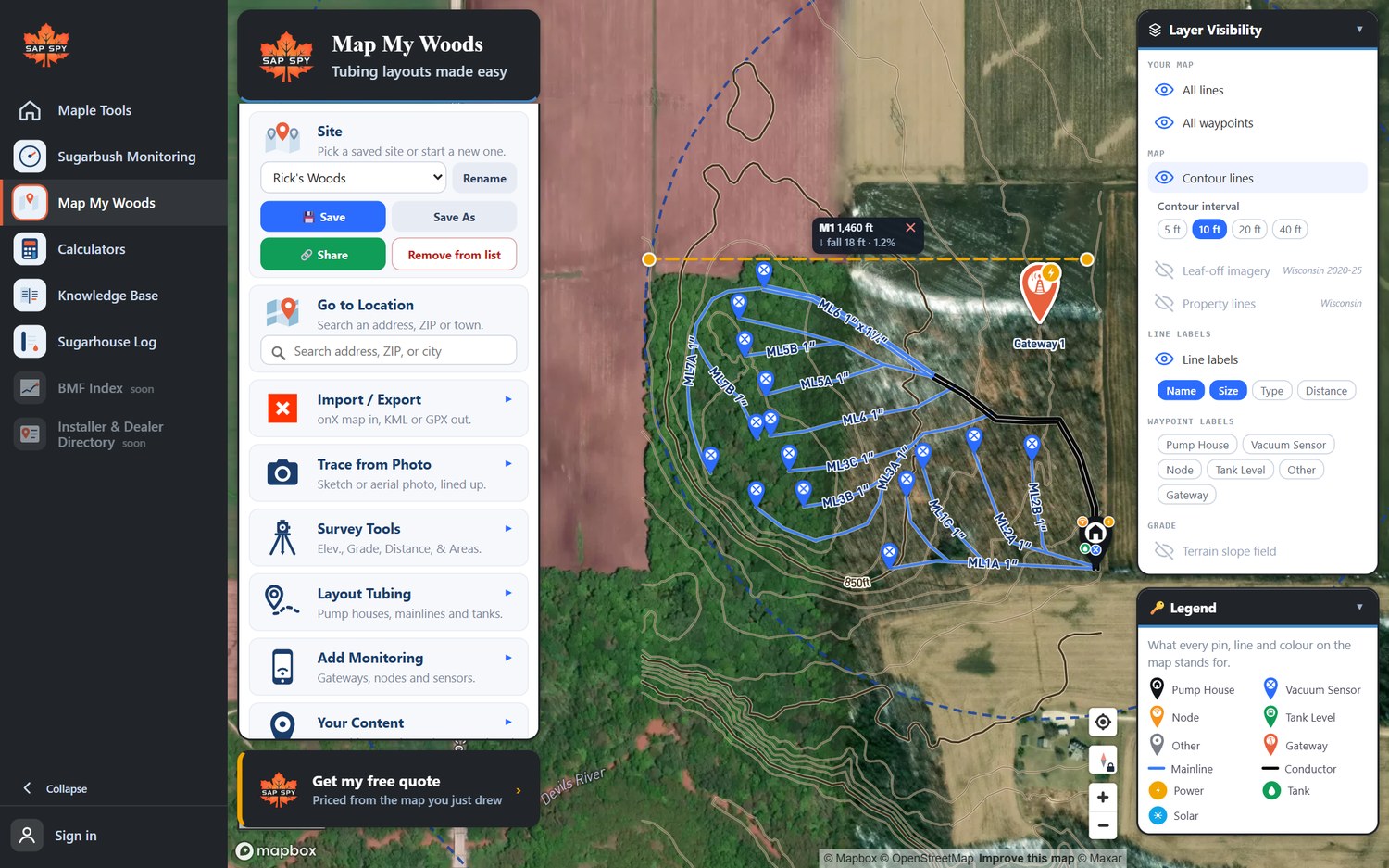
Contour lines draws the shape of the land. Pick 5, 10, 20 or 40 foot contours.
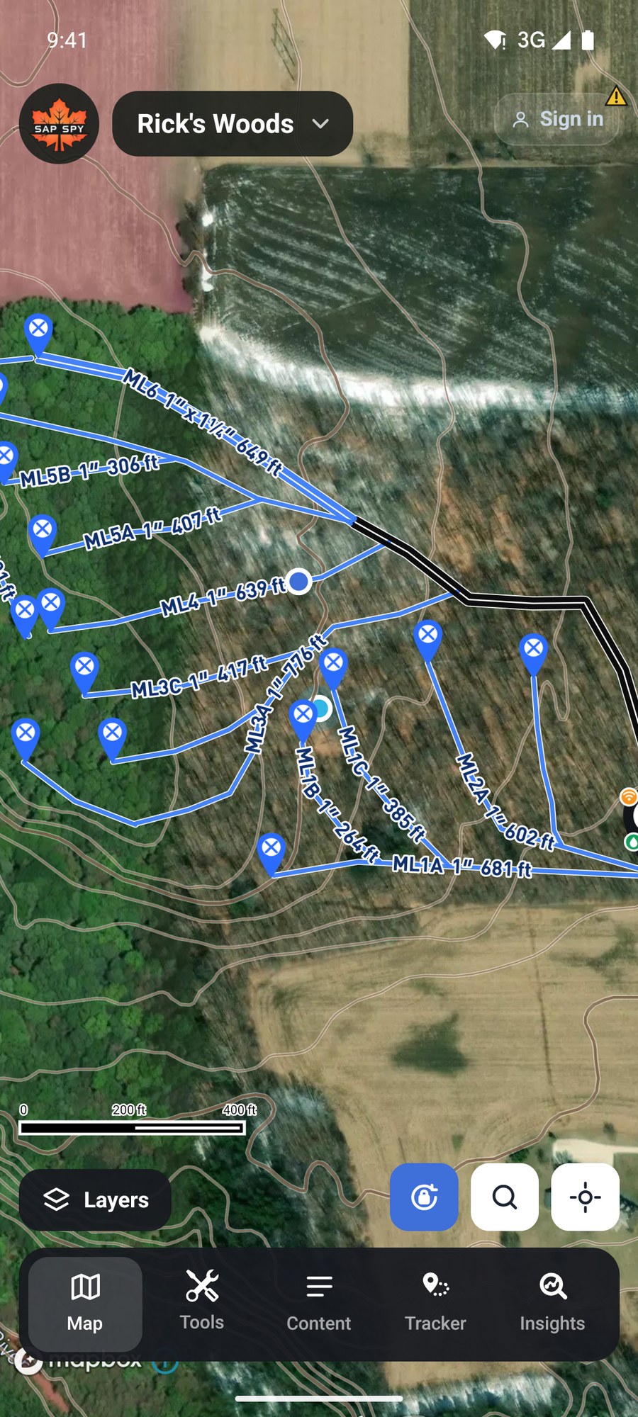
Terrain slope field colours the whole property by how steep it is and draws the fall line, the way water runs. Use it before you draw: it shows where a mainline will have pitch and where it will not.
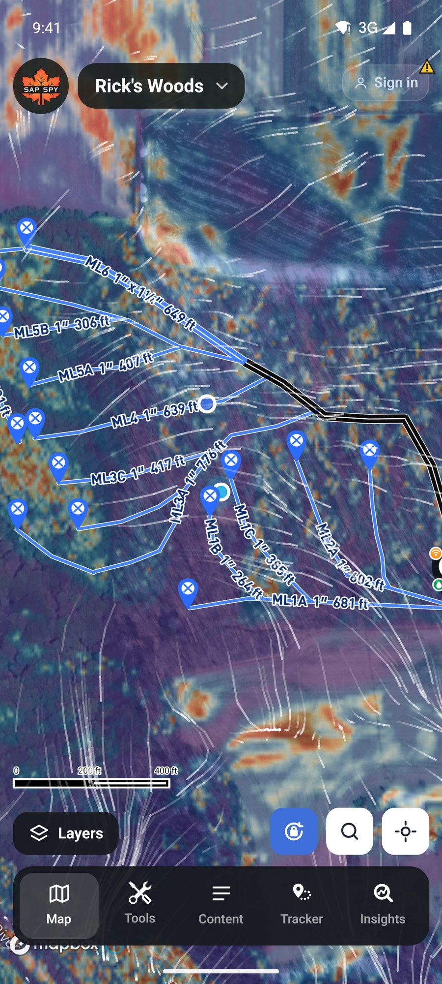
Line grade shading and Sap Flow Simulation are covered in the article on grade.
Leaf-off imagery#
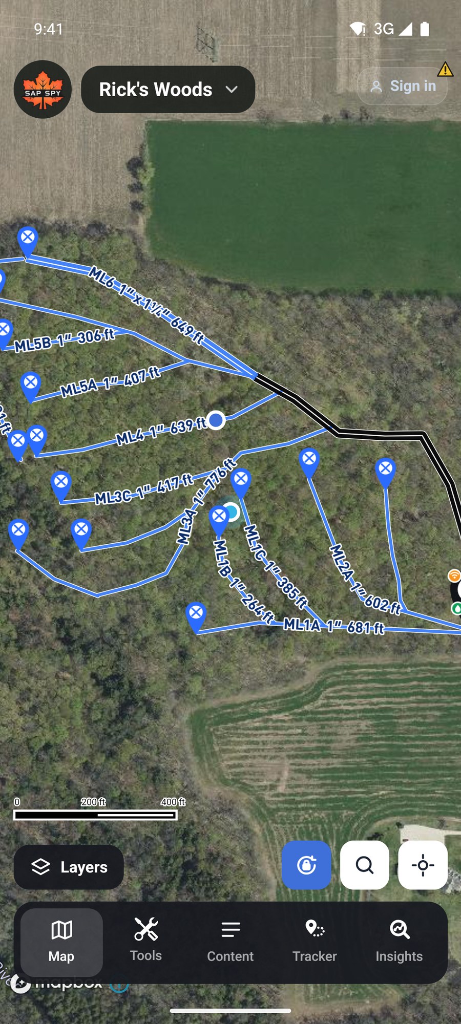
The normal aerial photo is taken in summer, when all you see is treetops. Leaf-off imagery swaps in a spring or fall photo, so you can see the ground, old roads and stone walls. The panel shows the state and the years it was flown. It is available in about ten states.
Property lines#
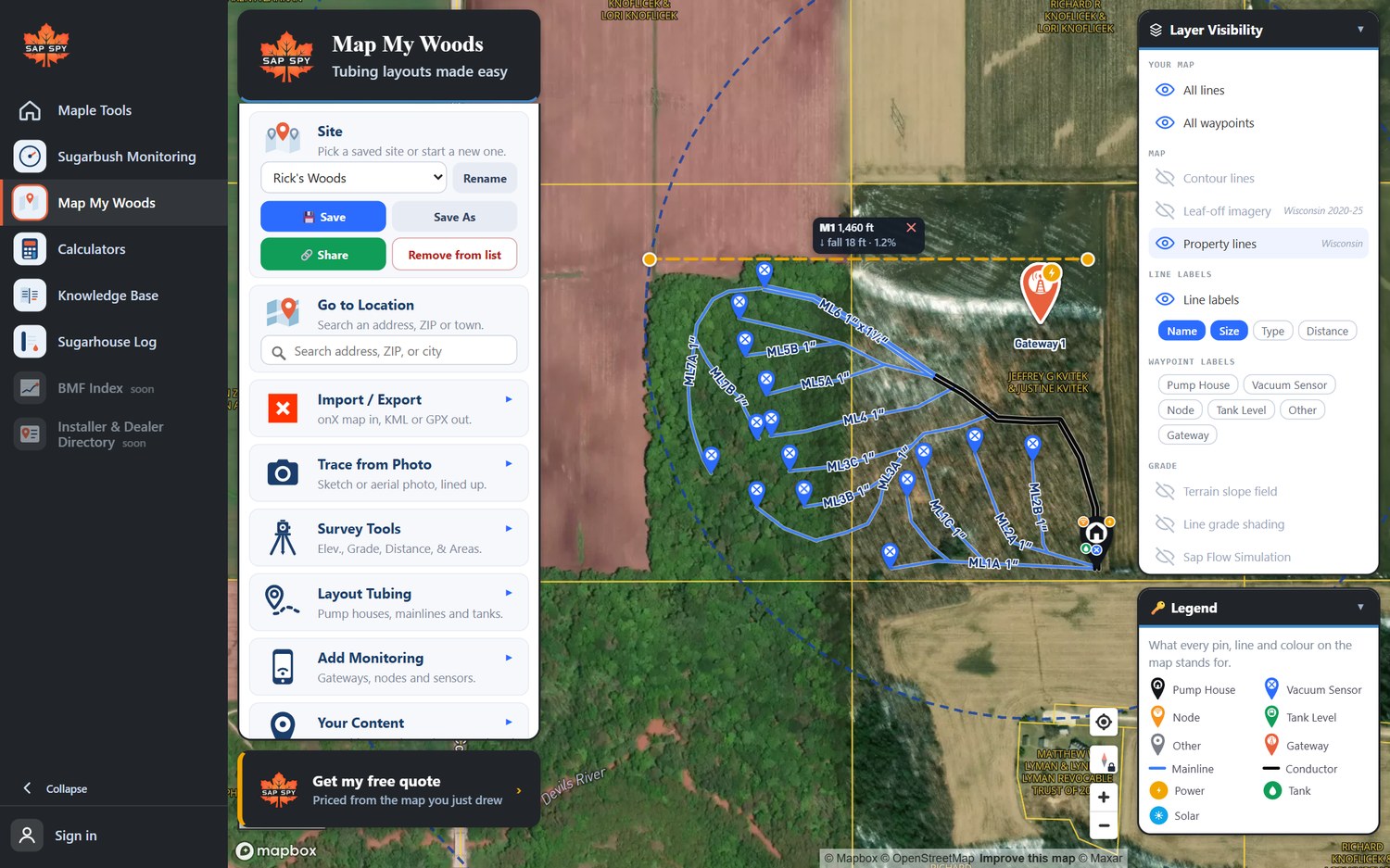
Property lines draws the parcels from county records. Tap a parcel for the owner and acreage, and Draw boundary to copy its outline onto your map as a Boundary line. Zoom in to see them. It is county assessor data, not a survey.
Cell coverage#
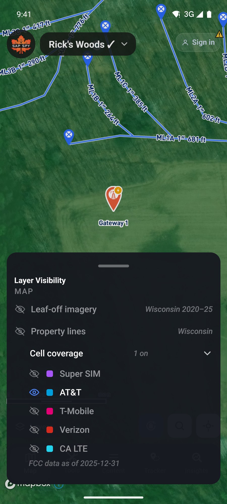
Cell coverage shades where each carrier reports service. Turn on one carrier at a time. For a Sap Spy cellular gateway, check the Super SIM row.
Labels and your own map#
At the top, Line labels chooses what is written on each line: name, size, type, distance. Waypoint labels does the same for pins. All lines and All waypoints hide and show what you drew, and each kind can be hidden by itself from Content.
On a computer#
Layer Visibility is the panel at the top right. The rows are the same.
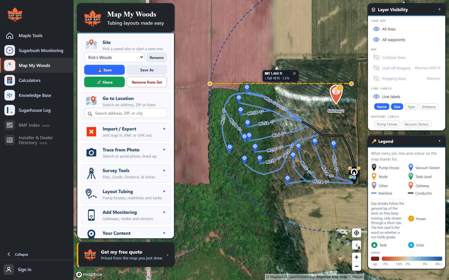
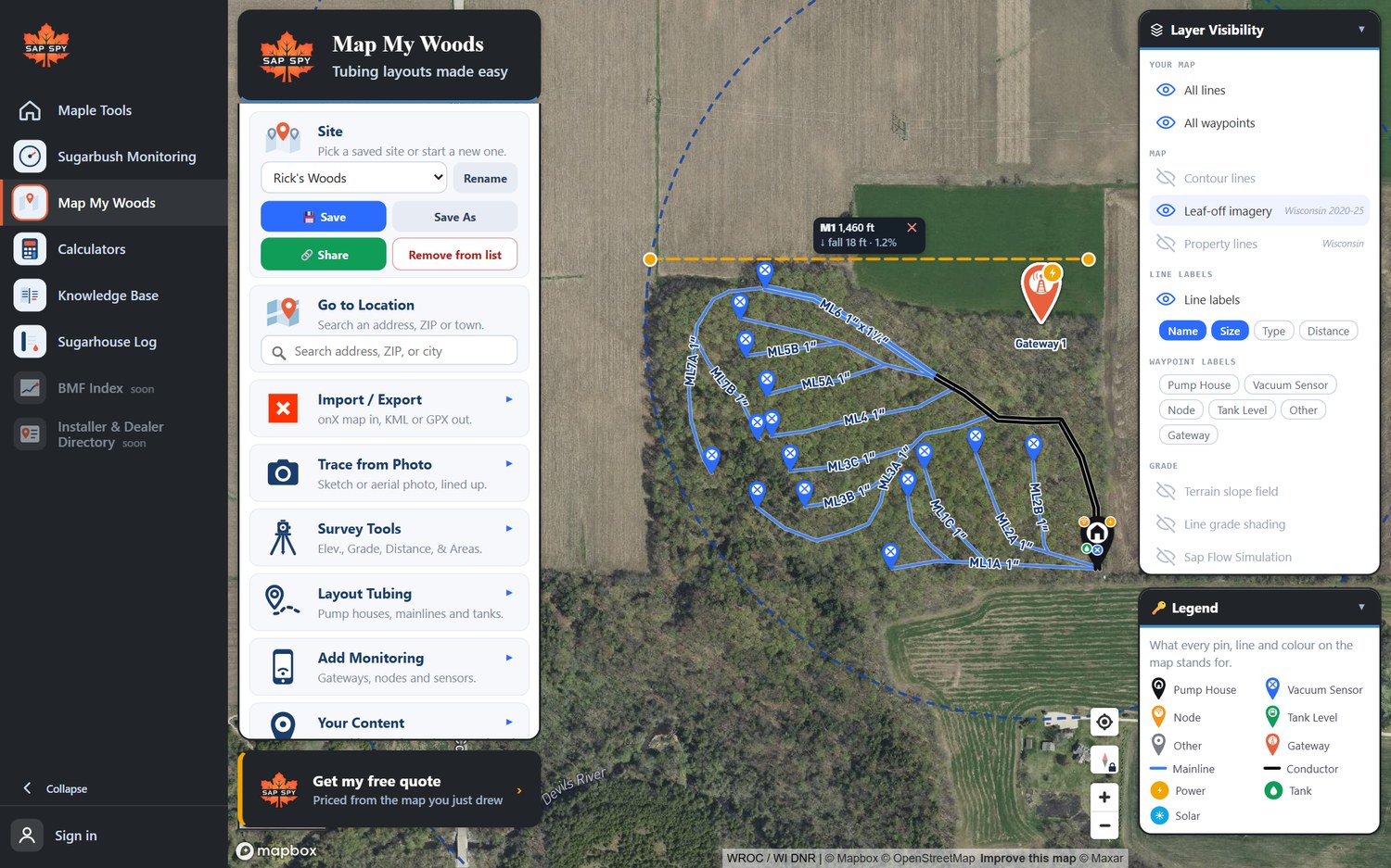
With Property lines on, click a parcel to see its owner and acres.
FAQs
Leaf-off imagery and property lines depend on what each state publishes. If your state is not there yet, the row is greyed out.
They pause when you zoom out past about two miles across. Zoom in and they come back.
It is what the carriers report to the FCC and the CRTC. Real signal in a hollow can be worse. Treat it as a first look and check on site.
Have a question this doesn't answer? Email info@sapspy.com or call 920-809-4811 — we're producers too.
This website uses cookies that help the website to function. We use these cookies to provide you with improved and customized user-experience. By tapping 'accept,' you consent to the use of cookies. For more info, see our privacy policy.