
Survey tools: Inspect, Measure and Area
Three tools for a quick answer before you draw anything: how steep is this spot, how far is it from here to there, and how many taps are in this block. The readings are not saved with the map.
On your phone#
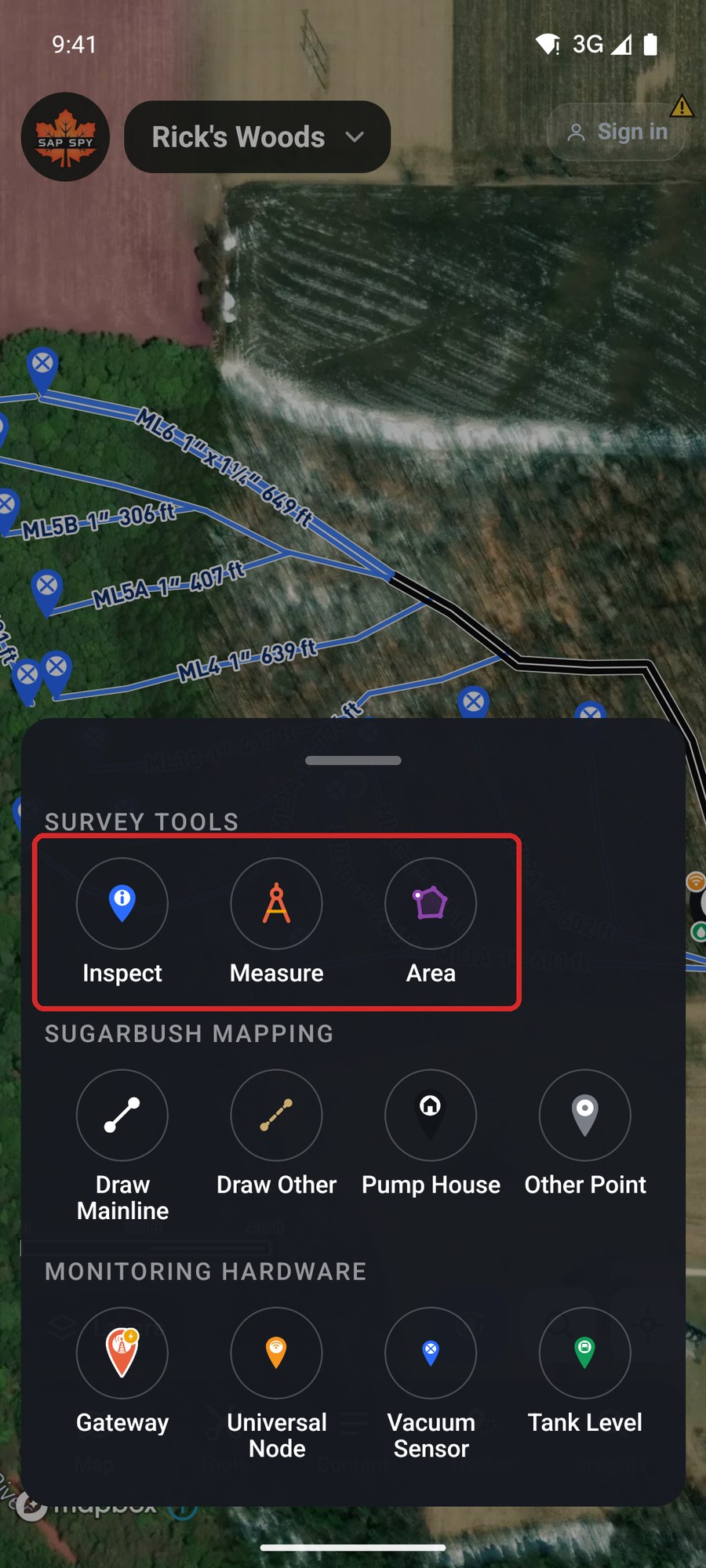
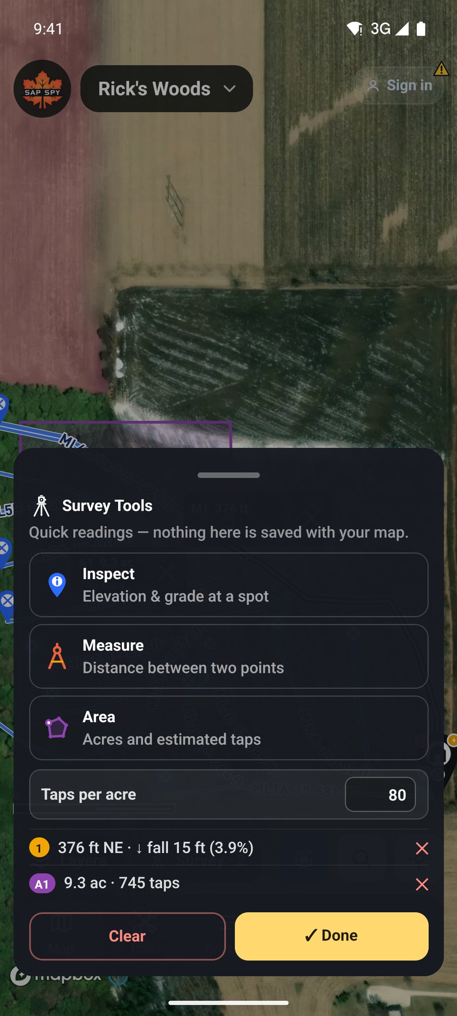
Tap Tools. The survey tools are the top row.
Measure#
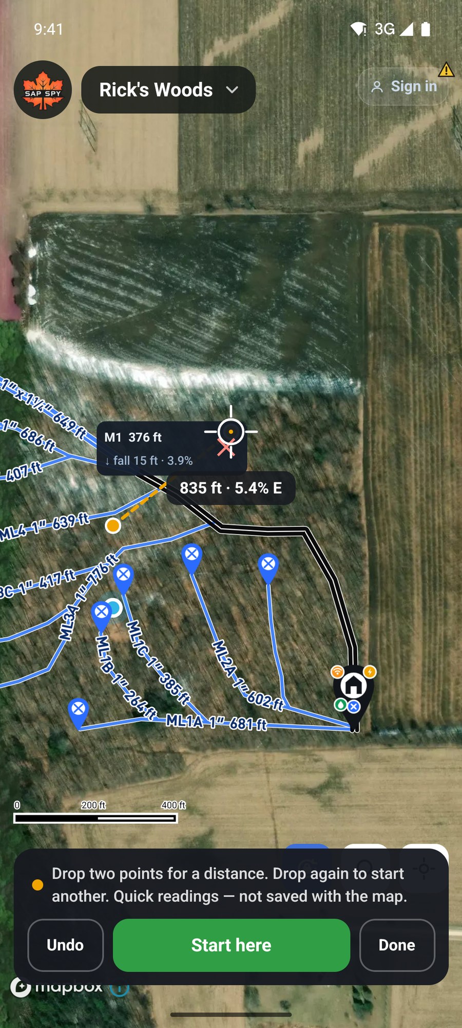
Distance between two points, and the rise or fall between them.
- Slide the crosshair to the first point and tap Start here.
- Slide to the second point. The readout shows the distance, the direction and the grade as you go.
- Tap Finish here.
Area#
Acres, and an estimate of taps.
- Slide the crosshair to a corner of the block and tap Start here.
- Tap Add corner at each corner, all the way around.
- Back at the first corner, tap Close here.
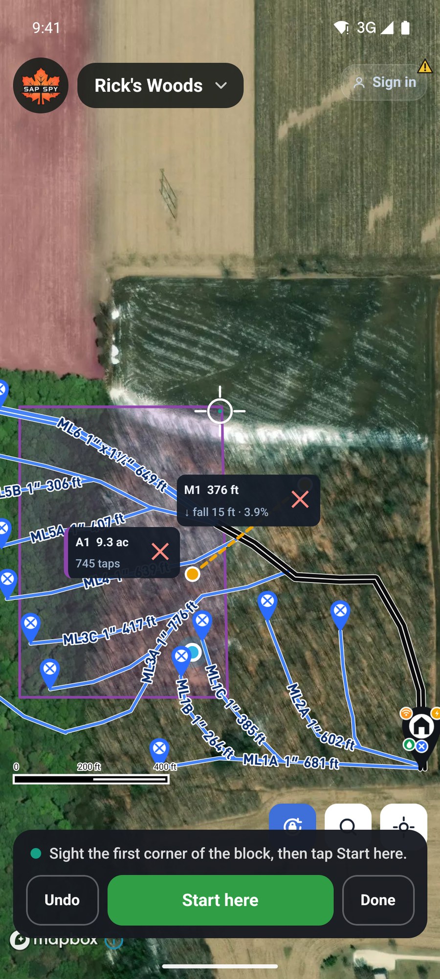
The first time you close a block on a map, it asks How many taps per acre in this woods? Pick 50, 70 or 100, type your own, or count the trees in a circle and let it work the number out. The figure is kept with the map and used for every block.
Inspect#
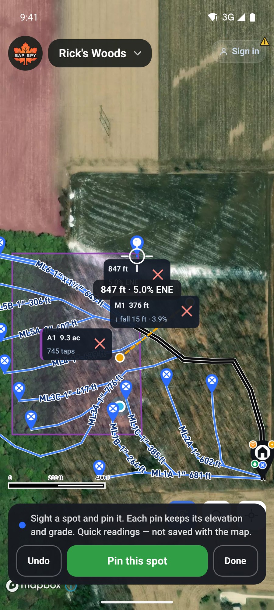
Elevation and grade at one spot. Slide the crosshair over the ground and the readout follows. Tap Pin this spot to leave a marker with its elevation and grade.
Your readings#
Tap Done and a Survey button appears beside Layers. It lists every reading, lets you remove one, change the taps per acre, or Clear them all.
On a computer#
Click Survey Tools and pick one.
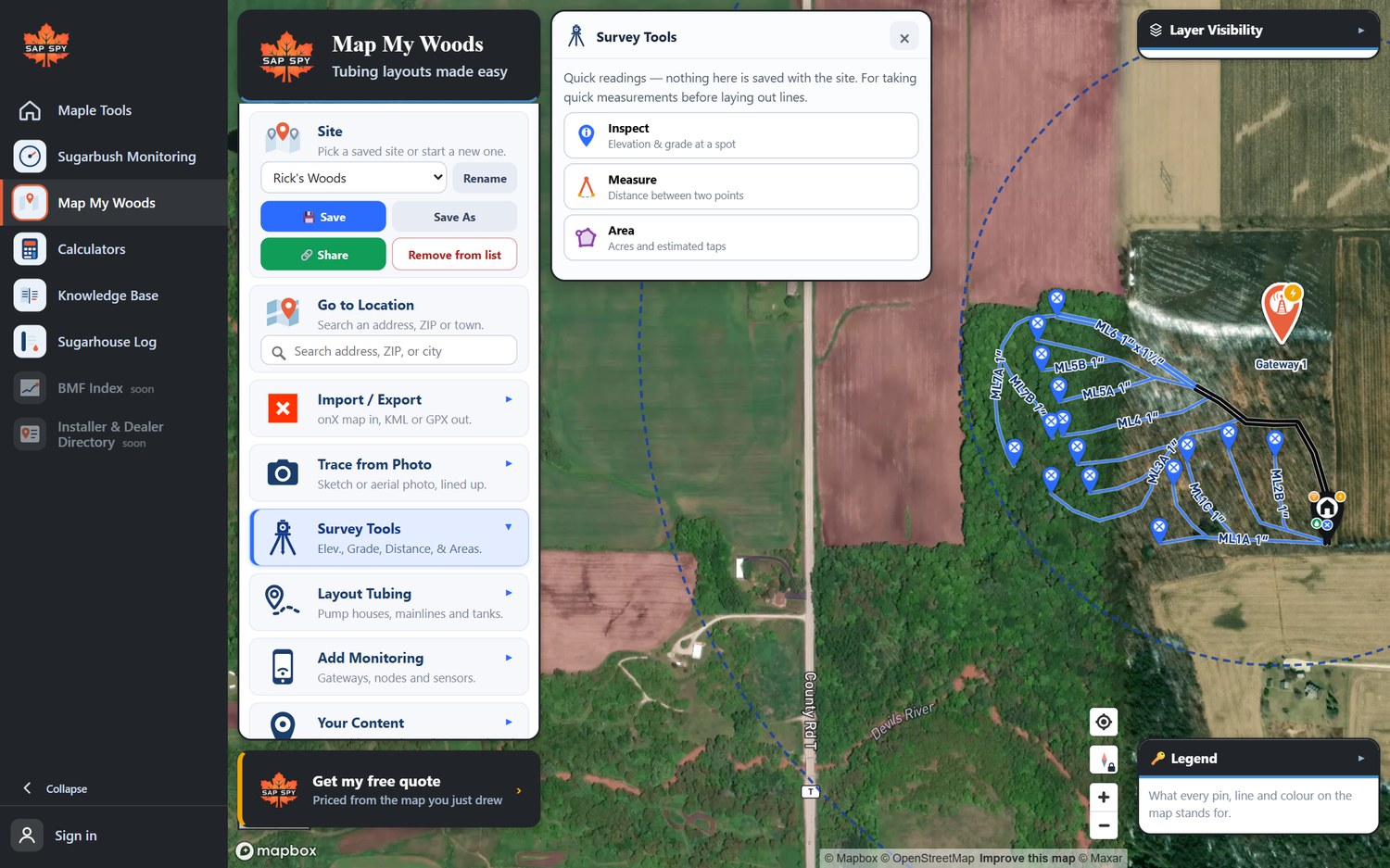
- Inspect: move the mouse over the map to read the elevation, grade and cell coverage under it. Click to pin a spot.
- Measure: click two points.
- Area: click around the block and click the first point again to close it. Right-click removes the last corner.
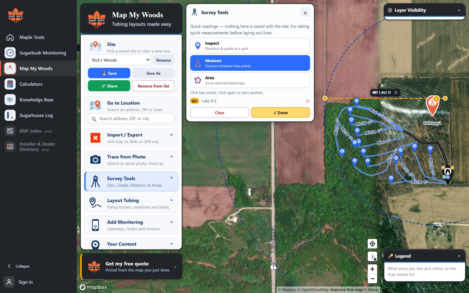
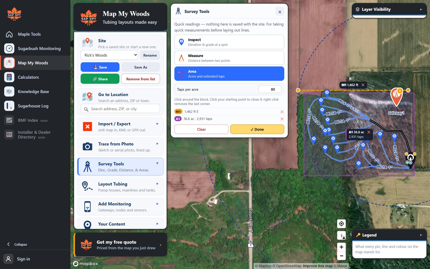
Esc puts the tool down. Clear removes the readings.
FAQs
They are for a quick look. To keep a line on the map, draw it with Draw Other as a Trail or Boundary.
Acres times your taps per acre. It is an estimate for planning. Enter the real taps on each mainline as you tap them.
Have a question this doesn't answer? Email info@sapspy.com or call 920-809-4811 — we're producers too.
This website uses cookies that help the website to function. We use these cookies to provide you with improved and customized user-experience. By tapping 'accept,' you consent to the use of cookies. For more info, see our privacy policy.